Geospatial and GIS Survey
Being professionals to avail the most advanced geospatial and GIS surveying services to the industry at large, ASIM Navigation India Pvt Ltd provides all high-tech, precise instruments-based operations with years of experience towards unlocking actionable insights in addition to improving decision-making to optimize operations.
Geospatial and GIS Survey Services
1. Precision land surveying
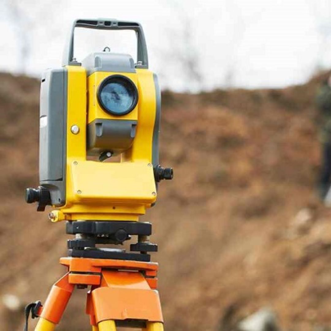
We utilize the advanced DGPS and Total Station Survey (TSS) technologies to produce accurate information in land boundary demarcation, boundary mapping, urban and rural infrastructure planning, and land use analysis.
2. Topographic Surveying
We conduct topographic surveys that describe the natural and man-made features that will allow elevation profiling, terrain analysis, construction site planning, and flood risk assessment.
3. Utility and Infrastructure Mapping
We provide reliable geospatial mapping for the key utilities that comprise:
- Road and rail networks
- Smart city infrastructure
- Water and drainage systems
- Power lines, pipelines and telecom networks
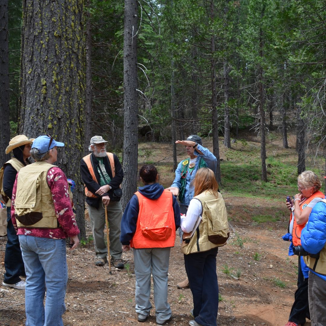
4. Forest and Natural Resource Management
We enable resource management in a way that is sustainable through:
- Wildlife habitat analysis
- Carbon stock assessment
- Vegetation and forestry mapping
- GIS support for conservation projects
5. Mining and Quarrying Surveys
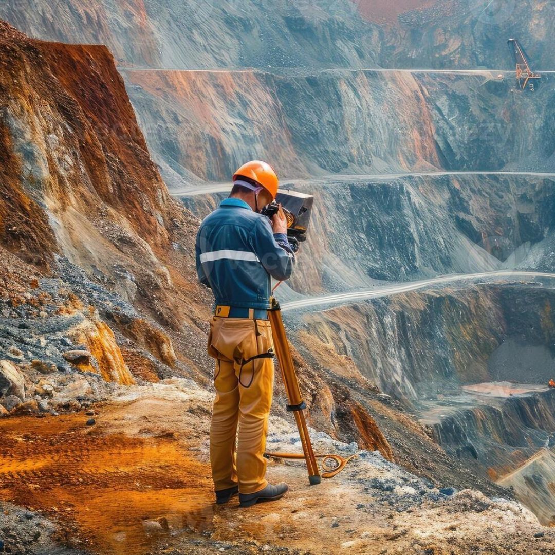
From exploration to extraction, we give you GIS-based mining surveys, including mine site planning and mapping, reserve estimation, geohazard risk assessment, and rehabilitation planning.
6. Data Processing and Analysis
Geospatial data experts translate the raw survey data into decision-making capabilities through:
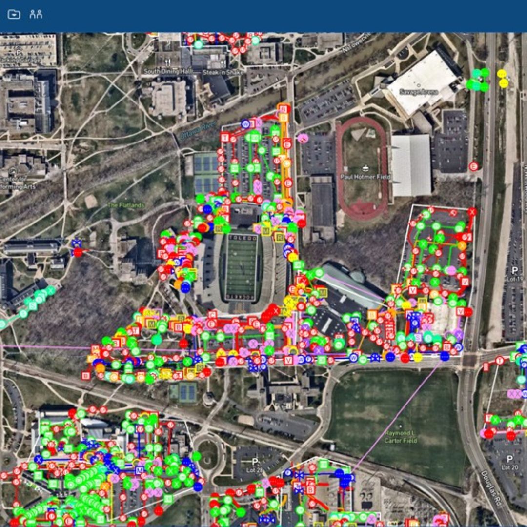
- Multi-layer integration of GIS data
- High-resolution map and model generation
- Reporting customized to meet the stakeholders’ needs
Why ASIM Navigation India Pvt Ltd for Geospatial and GIS Survey?
- Technology: DGPS, Total Station, and GIS Software Technologies
- Over 20 years of industry experience in providing geospatial solutions.
- End-to-End Support: Planning, execution, and analysis of data from a project.
- Customized Solution: All services are rendered based on project requirements.
- Diversity of the sector: It has strong experience in the forestry sector, mining sector, urban development, agricultural sector, and utilities sector.
Applications Across Industries
- Smart city planning
- Urban and rural development
- Agriculture and precision farming
- Environmental impact assessments
- Defense and para-military operations
Find the possibilities of geospatial and GIS surveys with ASIM Navigation India Pvt Ltd. Contact us today to discuss your project requirements and let us bring clarity to your world with precision mapping solutions.

